The projects that GeodataWIZ undertakes are focused on using geospatial data to better understand and analyse the archaeological and near-surface environment. By providing customized data solutions and project management services, GeodataWIZ can help clients in a range of fields to achieve their goals more efficiently and effectively. The selection below provides examples of recently completed projects.
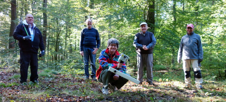
Magnetometer surveys in wooded areas
Although densely wooded areas can offer protection to subsurface archaeological features, conducting geophysical surveys with a magnetometer in such areas can be challenging. To address this issue, a group of local volunteers collaborated on a project to systematically compare different survey strategies for an Iron Age enclosure in Germany. Based on the results, an efficient investigation protocol was developed.
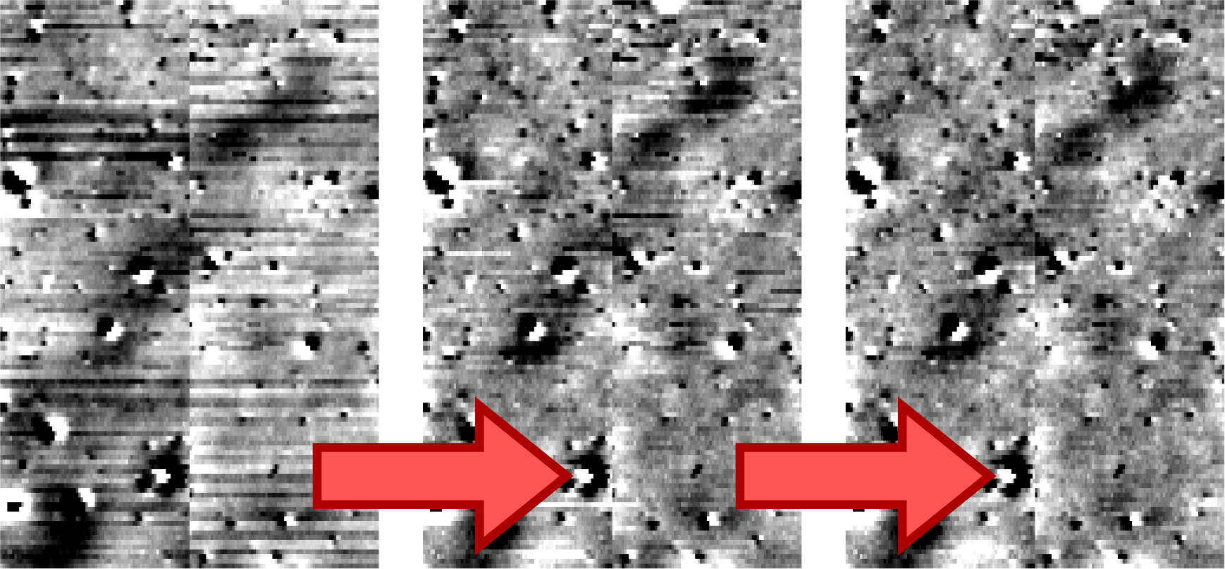
Rectifying data errors
During a client’s extended survey campaign a magnetometer sensor began producing sudden data jumps of approximately 0.5 nT, which significantly impacted the overall results. To address this issue, GeodataWIZ developed a specialized algorithm that can identify these jumps and re-level the affected data, resulting in a considerable improvement of data quality.
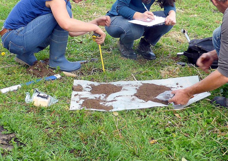
Managing a multi-year survey campaign for a Roman city
GeodataWIZ was responsible for project management during a multi-year geophysical investigation of a Roman city. After consulting with the client and conducting initial test measurements, a long-term survey strategy was developed. Detailed survey briefs were created to meet EAC guidelines, resulting in fair tendering processes for contractors and ensuring that the required data quality was achieved. Subsequently, the results were presented jointly with the client at international conferences.
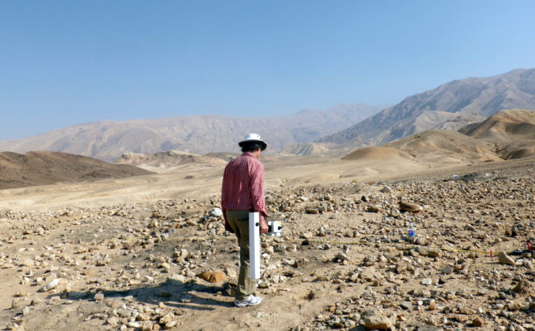
Geophysical investigation in Jordan
GeodataWIZ conducted a magnetometer survey around the excavated remains of a Pre-Pottery Neolithic A (PPNA) site in Jordan. Prior to the survey, magnetic tests of building materials and sediment fills were conducted to confirm the feasibility of the investigation. Despite the low contrast, the survey identified successfully several other building structures, revealing that the site is more extensive and architecturally complex than previously thought. In fact, its scale and complexity are more comparable to other regional PPNA sites than initially envisioned.
Overall, GeodataWIZ provides a range of services that can help clients in the archaeological and near-surface fields to understand better the geospatial data related to their projects.